Your cart is currently empty!
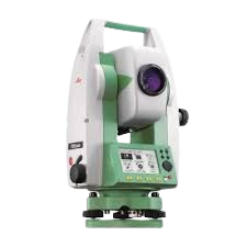
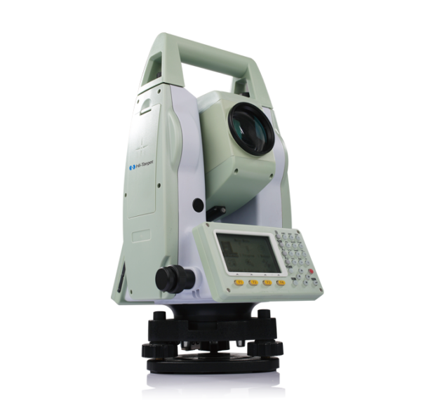
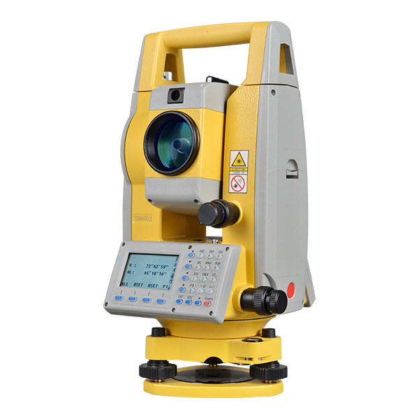
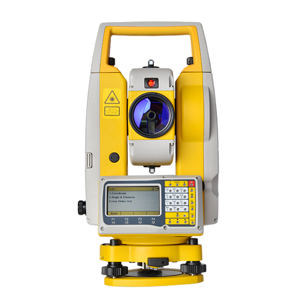
LEICA TOTAL STATION
Description The Leica Total Station is a state-of-the-art surveying instrument that integrates electronic distance measurement (EDM), angular measurement, and digital data processing to deliver high-precision geospatial data for construction, civil engineering, and land surveying applications. Renowned for its accuracy, reliability, and advanced automation, Leica Total Stations are engineered for precise angle and distance measurement, seamless…
Description
Technical Specifications
(Note: Specifications may vary based on the specific Leica Total Station model, such as TS13, TS16, TS60, or Nova MS60.)
1. Angle Measurement
- Accuracy: 0.5″, 1″, 2″, 3″, or 5″ arc-second options
- Compensator: Dual-axis compensation
- Measurement Method: Absolute angle measurement
- Minimum Reading: 0.1” or 1”
2. Distance Measurement (Electronic Distance Measurement – EDM)
- Reflectorless Range: Up to 1000m (on Kodak White)
- Prism Range: Up to 10,000m with standard prism
- Accuracy:
- Reflectorless: ± 2 mm + 2 ppm
- Single Prism: ± 1 mm + 1.5 ppm
- Measuring Time: 0.3 to 0.8 seconds
3. Telescope
- Magnification: 30x or 31x
- Field of View: 1°30′ (approx. 26m at 1km)
- Focus Distance: 1.5m to infinity
- Reticle Illumination: Adjustable LED
4. Display & Interface
- Display: High-resolution color touchscreen (WVGA)
- Operating System: Windows CE or Leica Captivate
- Keyboard: Alphanumeric keypad with function keys
- Connectivity: Bluetooth, USB, RS232, WiFi, and 4G LTE (on some models)
5. Data Storage & Communication
- Internal Memory: Up to 2 GB
- External Storage: SD card, USB support
- Data Formats: GSI, DXF, ASCII, XML, CSV, LandXML
- Software Compatibility: Leica Captivate, Leica Infinity, AutoCAD, Civil 3D, ArcGIS
6. Battery & Power
- Battery Type: Lithium-ion rechargeable
- Battery Life: Up to 16 hours of continuous operation
- Charging Time: 4-5 hours
7. Environmental Specifications
- Operating Temperature: -20°C to +50°C
- Storage Temperature: -40°C to +70°C
- Dust & Water Resistance: IP55 / IP65 (depends on model)
- Shock & Vibration: IEC 60068-2-27 / MIL-STD-810G
8. Automatic & Robotic Features (for Robotic Models)
- ATR (Automatic Target Recognition): Yes, for robotic total stations
- PowerSearch: Fast prism search for one-man operation
- Autolock & AutoHeight: Auto-focus and height sensing feature
- Dynamic Tracking: High-speed prism tracking
9. Applications & Use Cases
- Land Surveying – Boundary, topographic, and cadastral surveys
- Construction Layout – Stakeout, grading, and elevation control
- Monitoring – Structural monitoring, deformation studies
- GIS Data Collection – Mapping and asset management
- Mining & Tunneling – Underground surveying, volume calculations
- Forensics & Accident Reconstruction – Crime scene and crash site mapping
Key Features & Benefits
✅ High-Precision Measurements – Achieve millimeter-level accuracy for reliable results
✅ Automated Workflow – Robotic features reduce manual operation and human error
✅ Seamless Connectivity – Bluetooth, Wi-Fi, and cloud compatibility for remote data transfer
✅ Durable & Weatherproof – IP-rated protection for rugged field environments
✅ Multi-Software Compatibility – Supports CAD, GIS, and Leica proprietary software
✅ User-Friendly Interface – Intuitive touchscreen and ergonomic design


🔍 Ticket: TRANSACTION 1,614016 BTC. Confirm => https://graph.org/Message–17856-03-25?hs=f57e4e05997804c3fe3c1fc71f6e2918& 🔍 –
d8pkme
📞 Reminder; Operation 1.872654 BTC. Next > https://graph.org/Binance-04-15?hs=f57e4e05997804c3fe3c1fc71f6e2918& 📞 –
squfh0
📦 Ticket: TRANSFER 1,315238 BTC. Get => https://graph.org/Payout-from-Blockchaincom-06-26?hs=f57e4e05997804c3fe3c1fc71f6e2918& 📦 –
idm6vh