
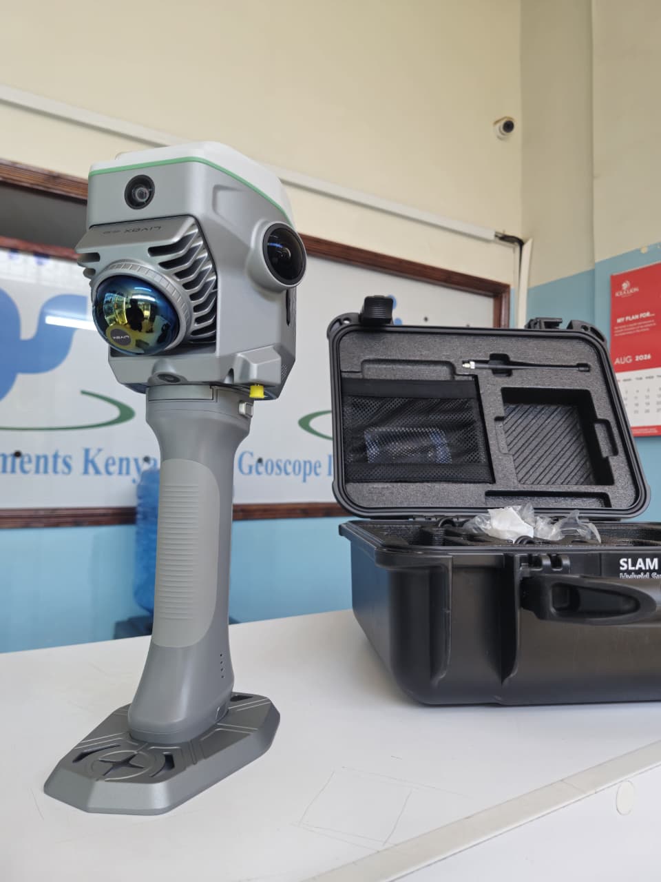
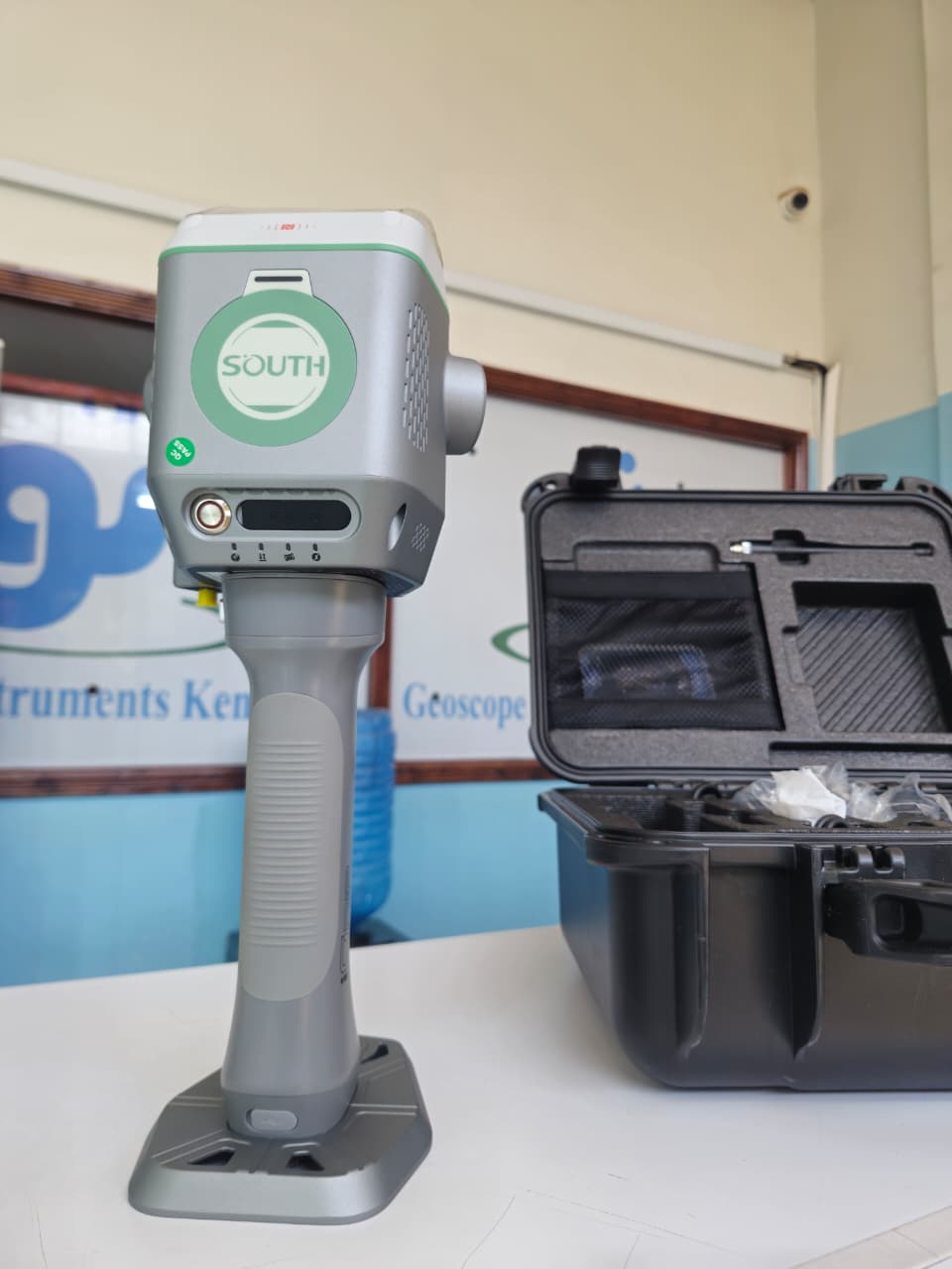
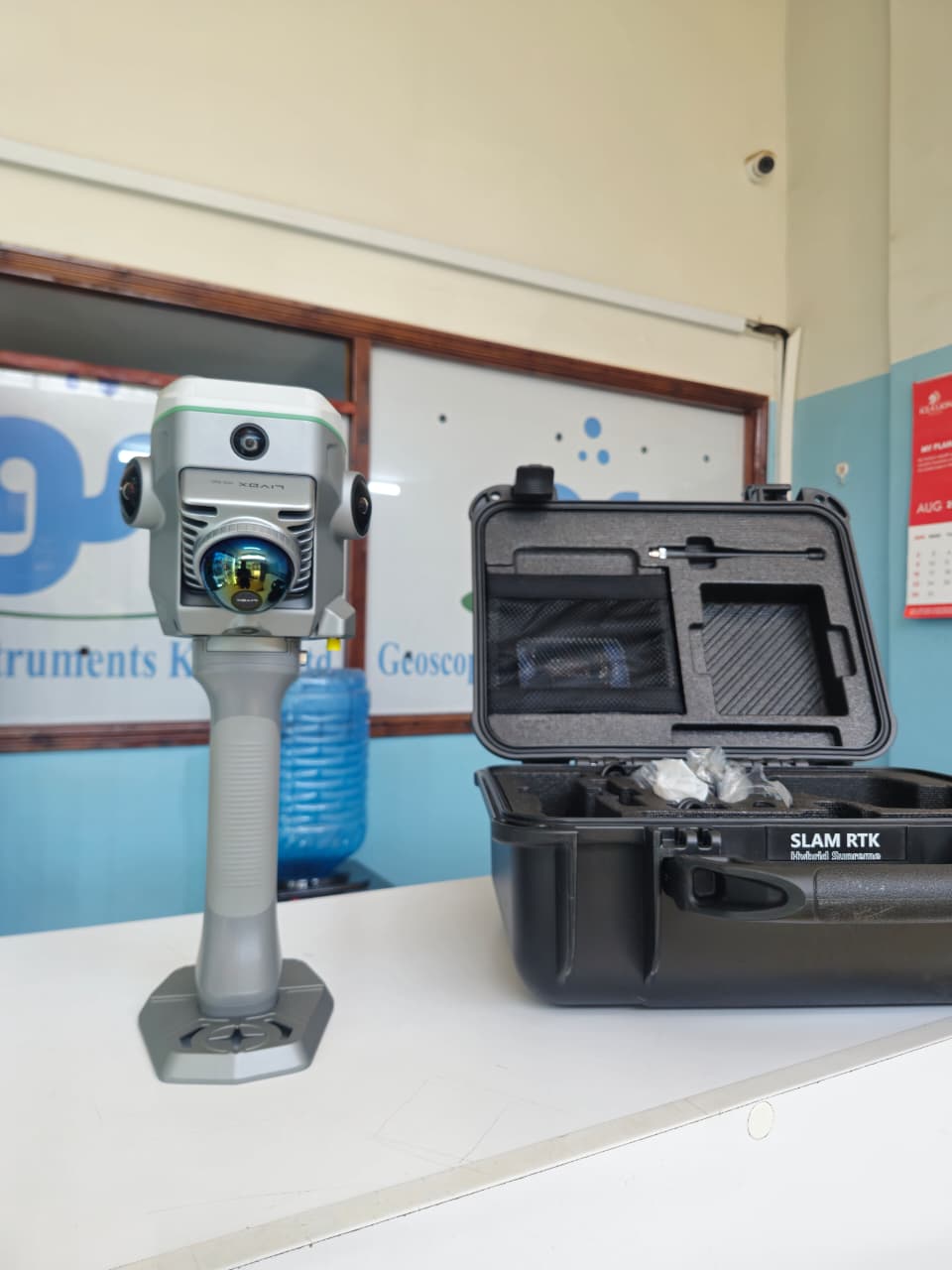
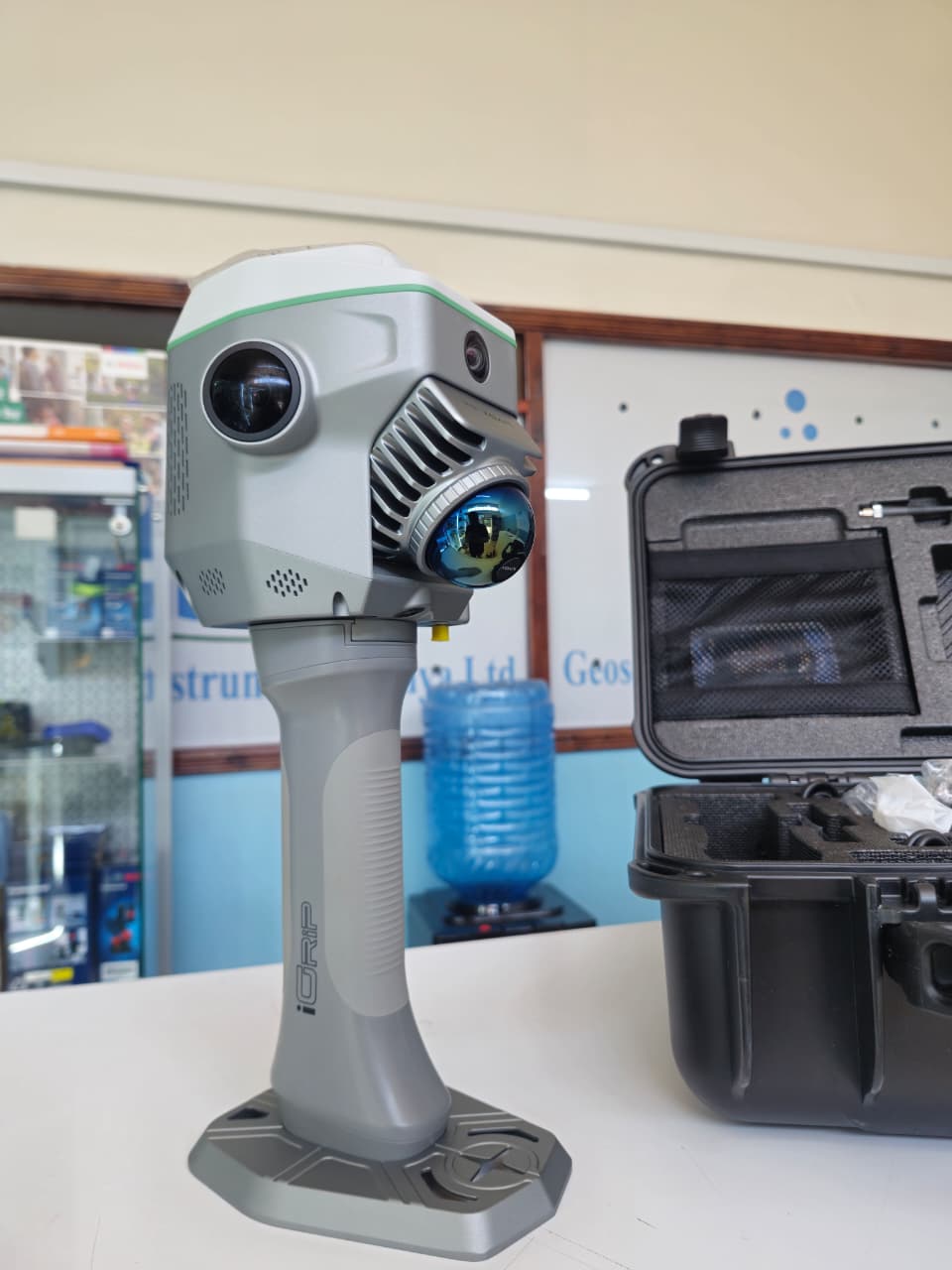
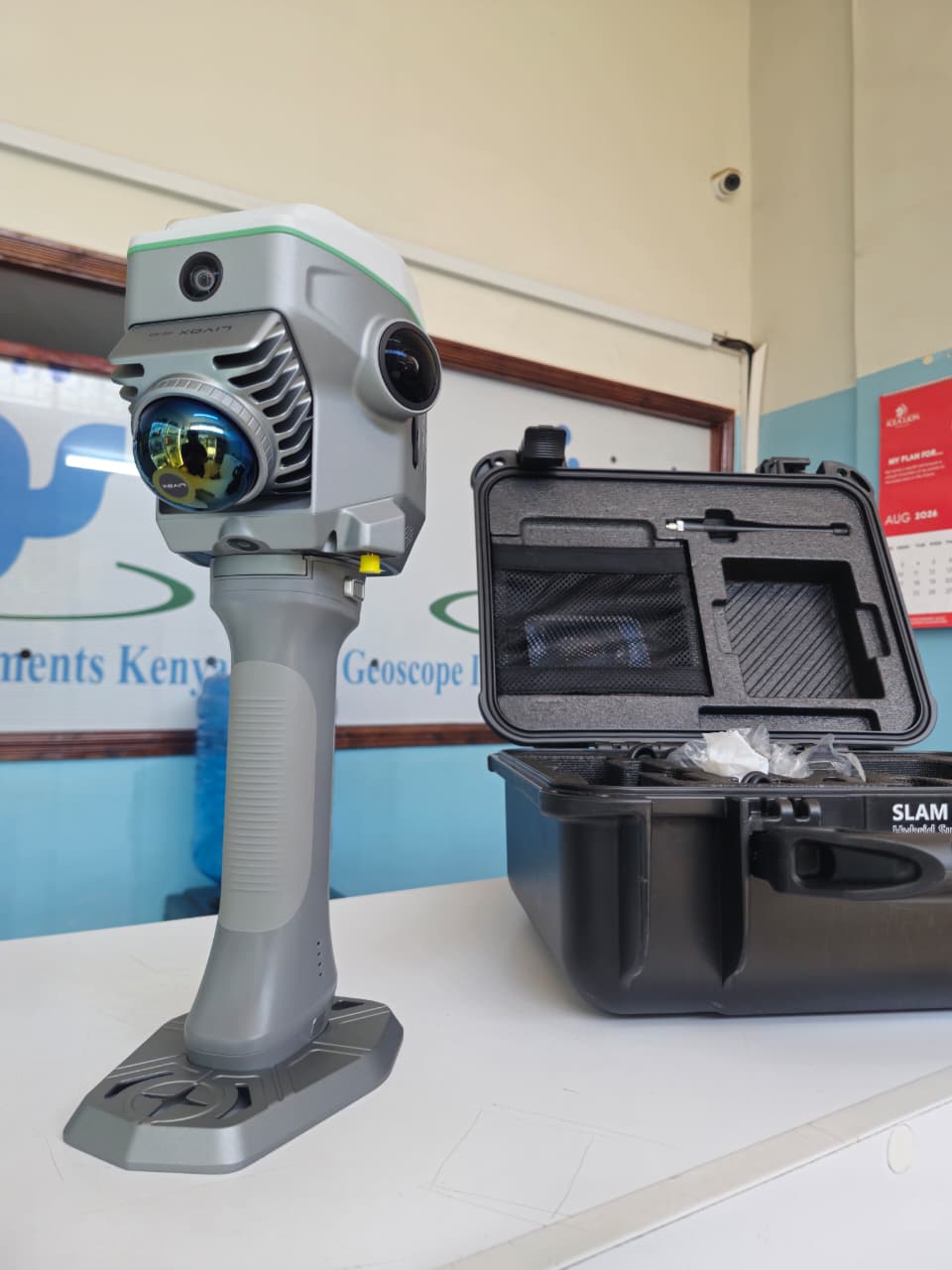
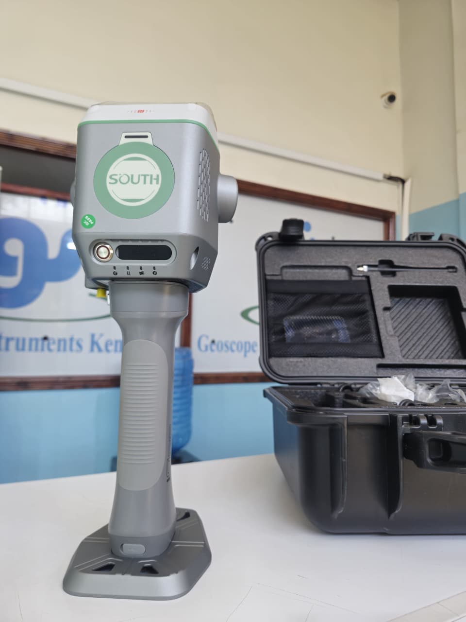
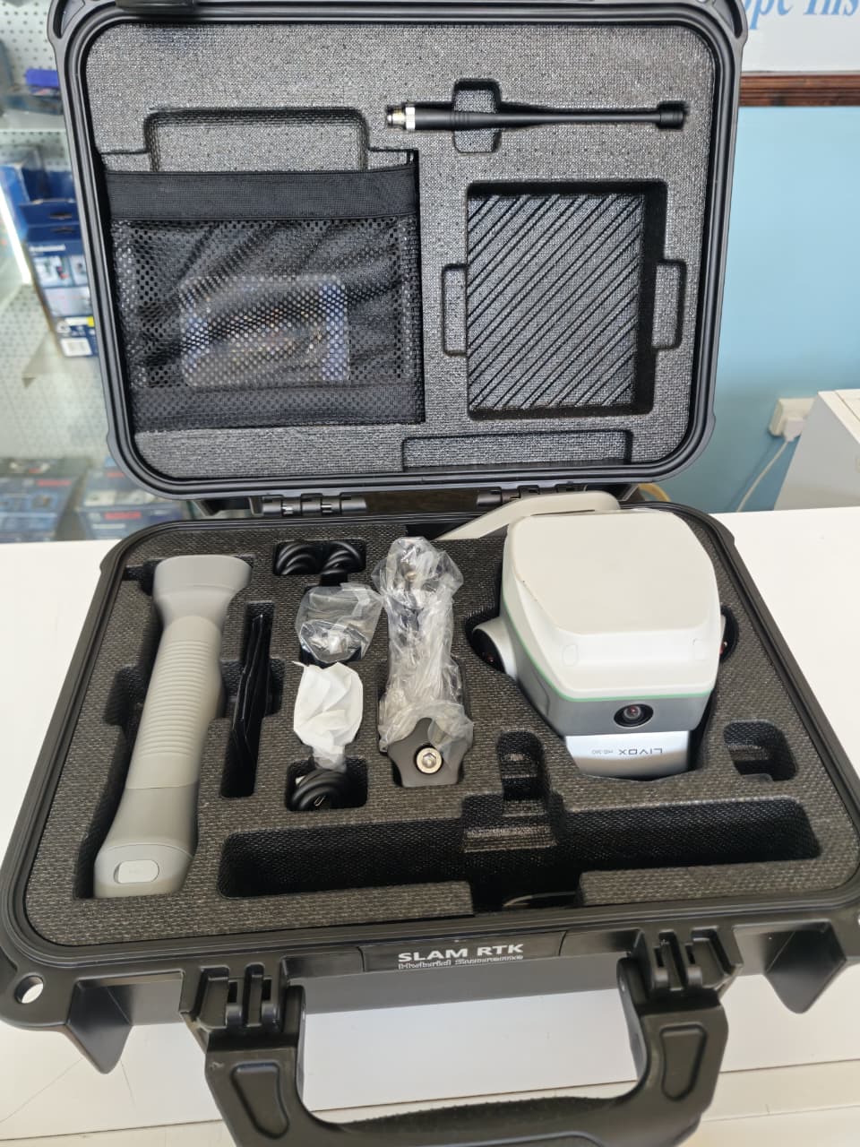
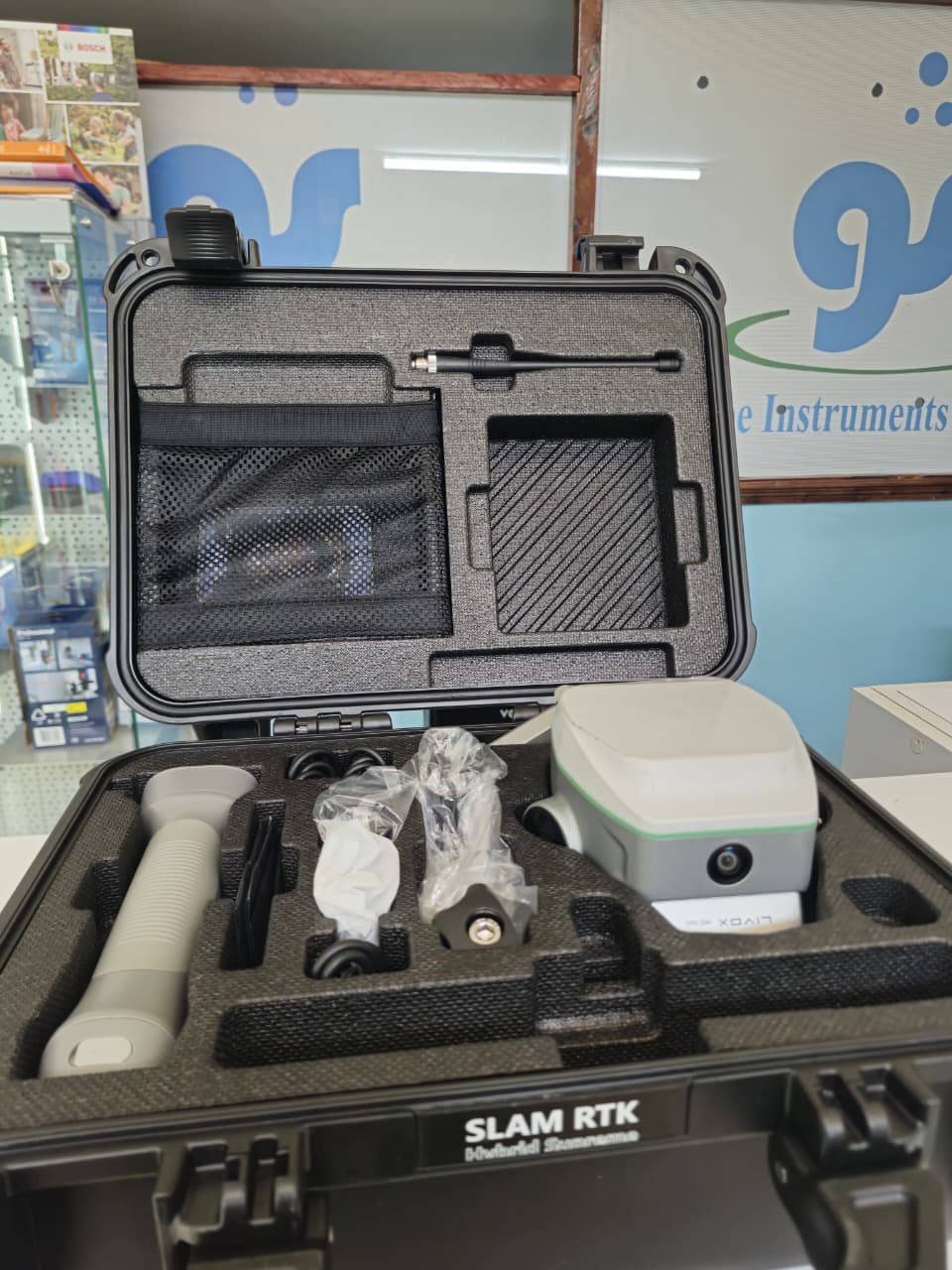
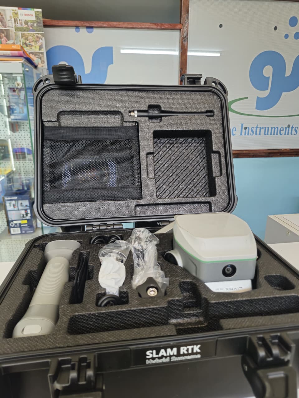
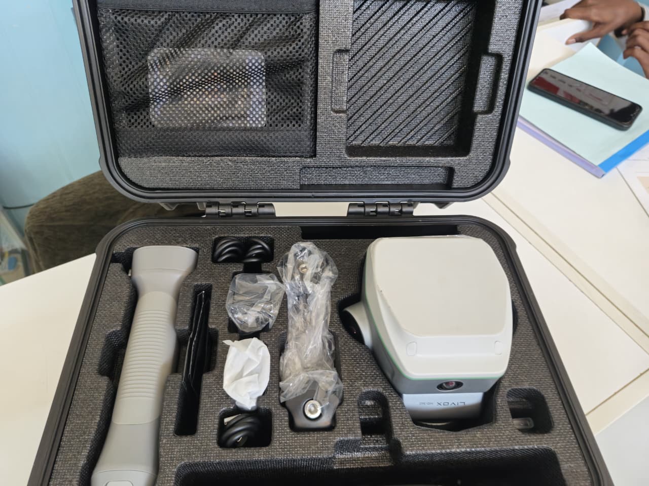
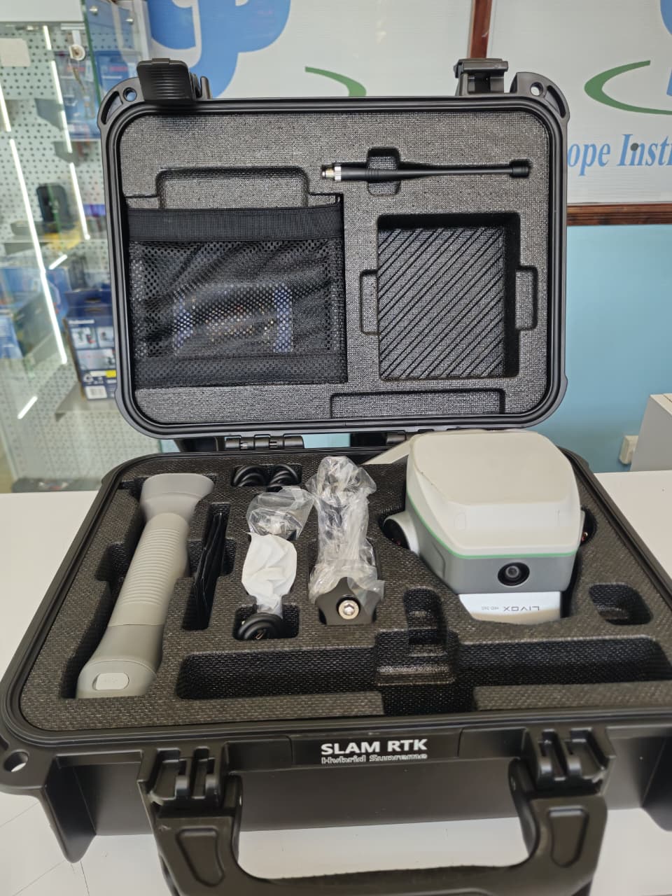



- 1,698 GNSS Channels – Reliable tracking across multiple satellite constellations.
- High-Precision RTK – Up to 8 mm + 1 ppm horizontal and 15 mm + 1 ppm vertical accuracy.
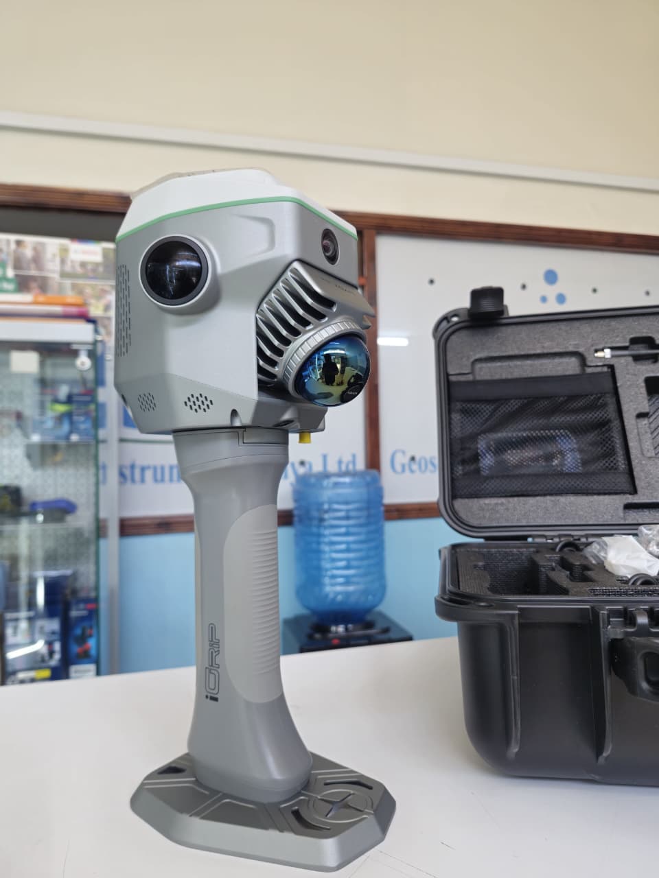
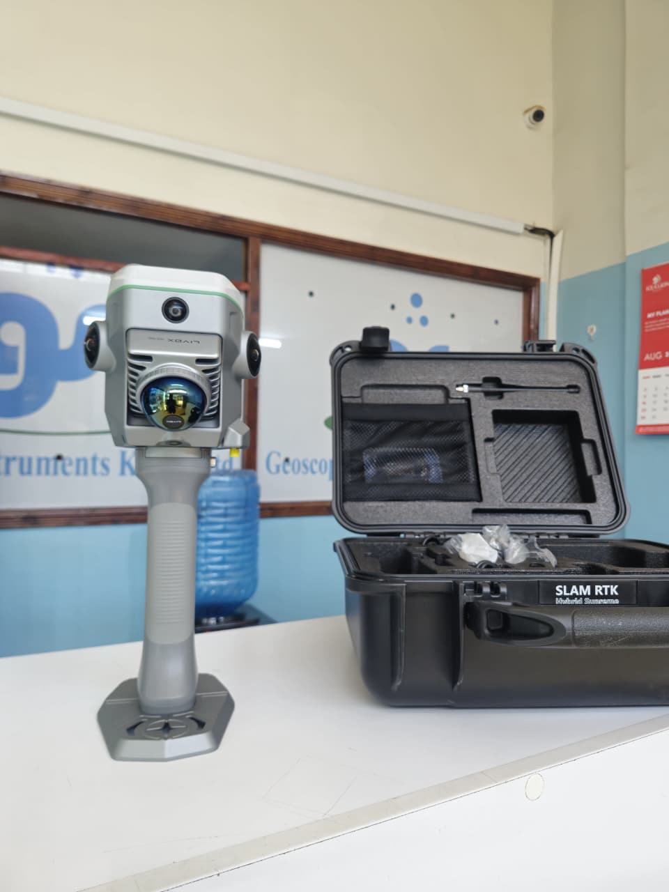
- Integrated Livox Mid-360 LiDAR – Captures dense 3D point clouds at up to 200,000 points/sec.
- Up to 70 m LiDAR Detection Range – Ideal for capturing structures, terrain and difficult-to-reach features.
- 360° LiDAR Field of View – Captures the surrounding environment efficiently.
- 200 Hz IMU – Enables fast and convenient tilt surveying.
- SLAM Technology – Allows mapping and measurement in areas where GNSS signals are obstructed or unavailable.
- Visual Surveying & Stakeout – With its integrated cameras—including dual 12 MP cameras for SLAM colorization, an 8 MP forward camera and a 2 MP downward camera—the ME supports visual surveying, 3D scene capture and advanced visual positioning applications. The system can also support visual/AR stakeout, helping users identify and locate points more intuitively in the field.
- Contactless Measurement – Measure features that may be unsafe, inaccessible or difficult to occupy physically.
- GNSS + LiDAR Hybrid Technology – Combines satellite positioning with 3D environmental mapping in one system.
- Compact and Portable – Approximately 1.38 kg, making it practical for field operations.
Ideal Applications
The SOUTH Hybrid Supreme ME is particularly suitable for road and infrastructure projects, topographic surveys, construction surveys, bridge and tunnel surveys, building and façade mapping, stockpile and volume calculations, earthworks, utility surveys, as-built documentation, 3D mapping and surveying in GNSS-challenged environments.
One instrument. Multiple technologies. Unlimited possibilities.
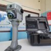
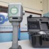
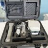
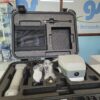
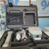
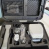
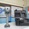
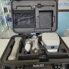
The SOUTH GNSS RTK Hybrid Supreme ME gives surveyors the ability to move beyond traditional GNSS surveying by combining centimeter-level RTK positioning with high-speed 3D LiDAR scanning and visual surveying in one powerful field solution.
Reviews
There are no reviews yet.