Your cart is currently empty!
TRIBRACH WITH CARRIER
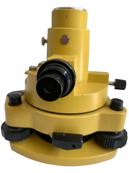
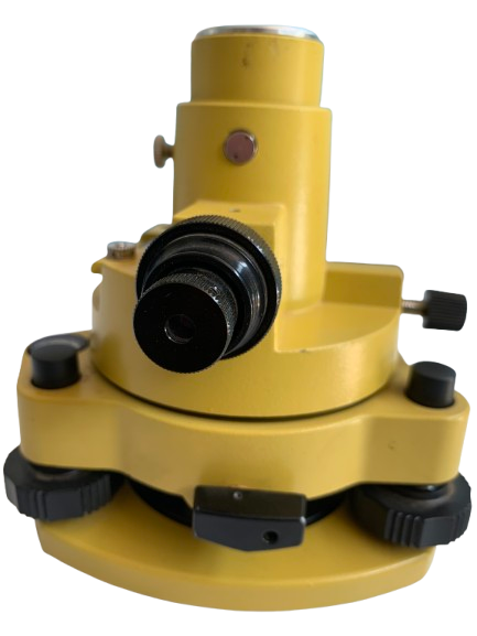
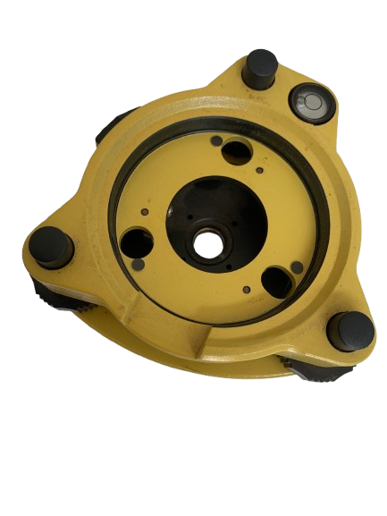
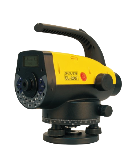
Overview A Survey Tribrach with Carrier is an essential precision instrument used in land surveying, engineering, and geodetic applications. It ensures the stability and accurate positioning of surveying instruments such as total stations, GNSS receivers, theodolites, and laser scanners. This component is crucial for ensuring repeatable and high-precision measurements by allowing instruments to be securely…
KSh 22,500.00
Description
Key Features
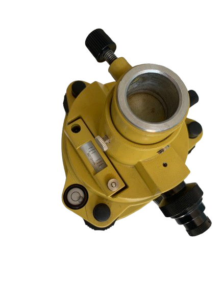
- High-Precision Leveling: Equipped with a precise bubble level for accurate horizontal adjustments.
- Durable Construction: Made from high-quality aluminum or magnesium alloy with corrosion-resistant coatings.
- Universal Compatibility: Designed to fit standard tribrach adaptors and various surveying instruments.
- Stable Locking Mechanism: Features a secure locking system to ensure minimal movement after setup.
- Optical Plummet or Laser Plummet: Available in optical and laser plummet versions to allow precise alignment over control points.
- Rotational Adjustment: Smooth rotation with minimal backlash for precise orientation adjustments.
- Quick-Release Carrier: Enables fast and easy interchangeability of instruments without re-leveling.
- Fine Adjustment Screws: Allows micro-adjustments for precise instrument positioning.
- Weatherproof and Shock-Resistant: Built to withstand harsh field conditions, including extreme temperatures, dust, and moisture.
Technical Specifications
- Material: High-grade aluminum/magnesium alloy with anodized or powder-coated finish
- Weight: Approximately 800g – 1200g, depending on model and features
- Level Sensitivity: 8’/2 mm or 10’/2 mm bubble level
- Plummet Type: Optical or laser (±0.5 mm accuracy)
- Mounting Thread: Standard 5/8” x 11 UNC thread for instrument attachment
- Base Diameter: 12 cm – 15 cm depending on model
- Height: 10 cm – 12 cm (excluding instrument)
- Color: Typically black, green, or yellow with non-reflective finish
- Operating Temperature: -30°C to +50°C
- Storage Temperature: -40°C to +60°C
- Tilt Range: ±5 degrees
- Repeatability Accuracy: ±1 arc second
- Maximum Load Capacity: Up to 5 kg
Applications
- Land Surveying: Used with total stations, GNSS receivers, and theodolites for precise positioning.
- Construction Layout: Ensures accurate alignment for site preparation and building layout.
- Geodetic and Mapping Surveys: Provides stability for high-precision mapping applications.
- Monitoring and Deformation Studies: Used in structural monitoring and deformation measurement applications.
- Mining and Tunneling: Applied in underground surveying operations for equipment stability.
Compatibility and Accessories
- Compatible Instruments: Compatible with Leica, Trimble, Topcon, Sokkia, and other major surveying instrument brands.
- Carriers: Available with adjustable centering devices for enhanced accuracy.
- Adapters: Optional adapters available for non-standard instruments.
- Protective Carrying Case: Includes a hard-shell case for safe transport and storage.
Certifications and Compliance
- ISO 9001 Certified Manufacturing
- CE and FCC Compliant for Electronic Components (Laser Plummet Models)
- RoHS Compliant for Environmental Standards

-1-600x600.png)
Reviews
There are no reviews yet.